Image: hunters hill map small
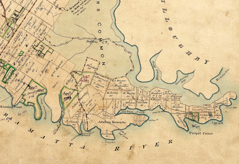
Detail of 1861 Hunters Hill Parish Map showing Mary Reiby’s 2 Portions of 30 acres, marked in yellow. The study site is in the Westernmost Portion [LRS: HLRV]
Detail of 1861 Hunters Hill Parish Map showing Mary Reiby’s 2 Portions of 30 acres, marked in yellow. The study site is in the Westernmost Portion [LRS: HLRV]
