Author: Dr Sue Rosen
Client: Private Client
In 1790, Captain Watkin Tench led an exploratory expedition which passed though the general Liverpool area. The country was described as: '… remarkably pleasant to the eye; everywhere the foot trod on thick and luxuriant grass...'
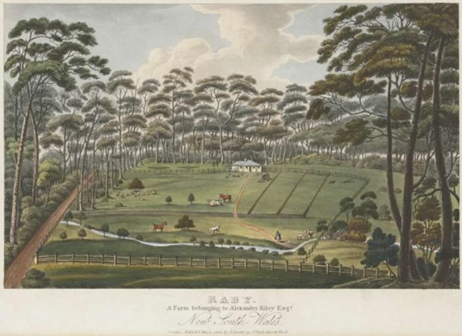
Alexander Raby Riley, a London-born merchant, arrived in Australia as a free settler in June 1804. In 1809, he began to develop his grant of land near Liverpool, which he named Raby.
With little farming experience, but with an excellent grasp of colonial trading and mercantile affairs, he made a profitable business of trading in colonial wool, in addition to developing his wool sheep at Raby.
In his 1824 Views in Australia, Joseph Lycett portrayed the property in a romanticised fashion, writing:
'The farm of Raby is...remarkable for having,...the commanding piece of water that...forms the head of the South Creek, one of the principal and most important branches of the Hawkesbury River. The Pasture here is of the most fertile character, and is principally devoted to the grazing of fine-woolled Sheep: from fifteen hundred to two thousand...Such is the mildness of the climate, that no shelter is ever required for these sheep, even in the depth of Winter, which is the Lambing Season; nor, except on very few occasions, is any food prepared for them, except the natural grass of the surrounding pastures.'
From c.1810, the site was part of the Raby property, which was generally used to pasture Riley’s Saxon merion sheep. Following the end of the Riley’s ownership, the land was again advertised mainly for grazing. William Moore utilised the site for mixed farming from 1867. The site was subdivided several times between 1905 and 1915, though it retained its agricultural use. Aerial images from 1947 show a market garden and paddocks with patchy tree cover. Contemporary aerial images confirm further land disturbance by the greater intensity of crop production employed across the majority of the site, in addition to two dwellings constructed post 1947.