Authors: Dr Sue Rosen and Liz Gorman
Client: Cultural Heritage Connections
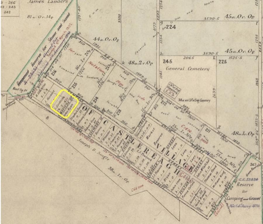
Our team prepared a LPI search, historical maps and plans and compiled a historical background of an area of archaeological interest in Church Lane, Castlereagh.
161 Church Lane Castlereagh was part of the original Village of Castlereagh, the site of which was nominated by Governor Macquarie in late 1810. Castlereagh was to be one of five villages sited above the Hawkesbury-Nepean River as a refuge for settlers in time of flood. The others were Windsor, Richmond, Wilberforce, and Pitt Town. Although the Castlereagh town plan had been laid out by January 1811, there was reluctance by locals to take up town lots and the town as such failed, due to the lack of water in its vicinity. The only lots taken up were those on the river side of the town.
Overall, research strongly suggests there was no development on the site until post 1965.